The first map to show you is a map of the world. When the Primals remade the world after the Reckoning, they made it bigger than it had been in the Elder Days. Sangrar now had several continents, though The Tale of Ages took place on Fanar and Tyrnavalle. Aspects of the Warrior, Prince and Priestess appeared on Shurlind and Kandagard, but they were merely ancillary echoes and did not figure into the primary Tale.

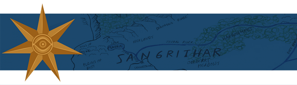
Next are a series of maps displaying the continent of Fanar, the Sangritharian empire and the areas near the capitol in the time of Hali.
These first two maps show the nations and geography of Fanar. Ideally, if I had better artistic skills, or better software, this would be one map, not two.


Next are maps zooming in on the northwest corner of Fanar, near the capitol. You’ll find two versions of the map, one relatively clean and one crammed with names of noble lands. You’ll notice the countries of Sidonia and Ambisant marked on the map, and an outpost named Point Paran wayyyyy to the northwest. These three locations didn’t exist until after Hali’s time.


Followed by maps of the capitol and Tintammil, the throne room in Gloryngael.


After that are two poorly done maps of Dol Melerith. They’re not drawn to any particular scale. The first is a bird’s eye view of Dol Melerith’s interior, as seen when entering and looking towards the waterfall. The second is a zoomed out top down view showing the exterior and interior and the cliff wall separating them.
 .
. 
