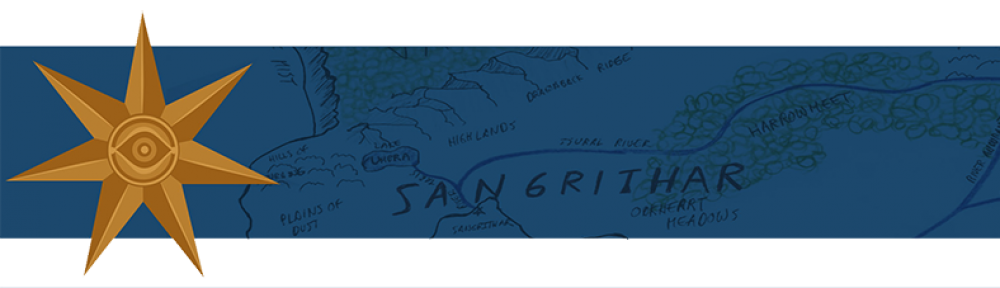
First, a rather plain map of Tyrnavalle, showing the land features without any words, followed by a rough sketch of the sub-continent’s geographical regions. .

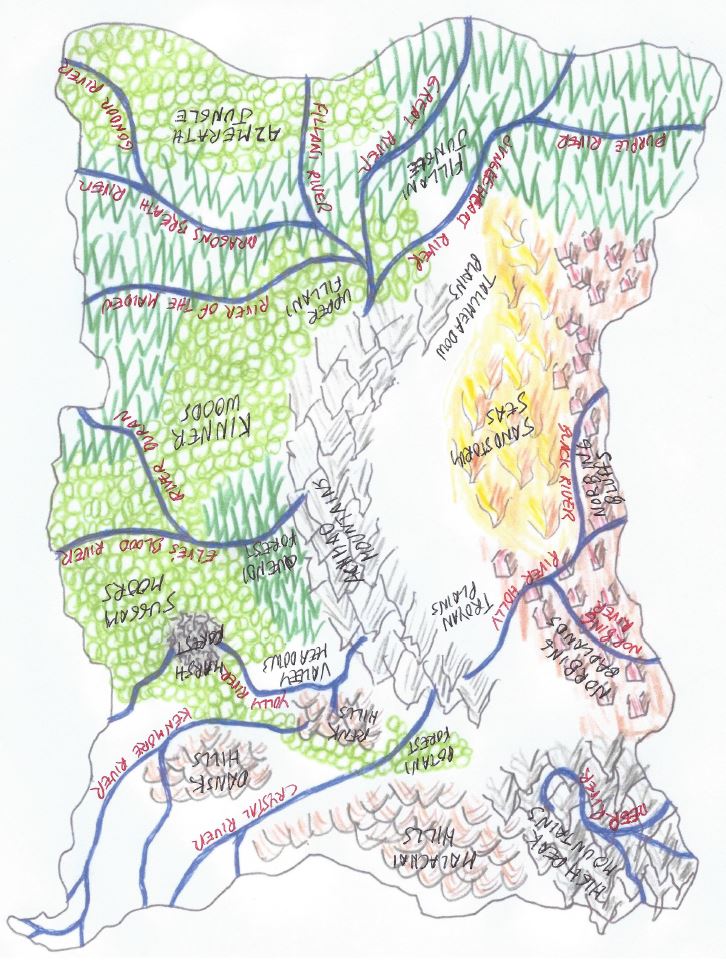
And now, some additional maps of Tyrnavalle that are of considerably worse quality, but contain more information. Someday, I hope to transfer the data on these older, cruder maps to the newer one.
This first series shows the nations of Tyrnavalle over time. In a history as long as Sangrar’s, nations rise and fall. This series of maps shows the nations (city-states would be more accurate) over time.
Years 1 – 400 * Years 400 – 1200 Years 1200 – 2127


* years according to the Renk calendar (RT)
